Saved Risk Reports
Demo Reports
Explore the features of EarthCare.ai with these 3 pre-set demo reports. Upgrade to save locations and unlock all features!Saved report limit reached
Need more saved reports? Talk to us, and we'll create a custom-tailored plan for your needs!
No saved reports yet
...
Historical Threats
Upcoming Threats
Benefits
Insurance Assessment
Use our guide below to help you understand which type of insurance would be most beneficial for a property located at the address. We utilize your answers and our threat data to give you an insurance assessment overview.
Type of Property
Location Within Property
Suggested Insurance Types
 Wildfire
Insurance
Lorem ipsum dolor sit amet, consectetur adipisicing elit. Assumenda quibusdam, distinctio dolore eligendi harum inventore totam modi est, architecto magni nobis esse numquam voluptatem optio minus minima dolores sunt impedit.
 Flood
Insurance
Lorem ipsum dolor sit amet, consectetur adipisicing elit. Assumenda quibusdam, distinctio dolore eligendi harum inventore totam modi est, architecto magni nobis esse numquam voluptatem optio minus minima dolores sunt impedit.
Short-Term Threats
These are the threats detected by our forecasting systems in the next days. They are modelled using the same principles as historical threat analysis, on top of multiple weather predicting models (including EU ECMWF, German DWD, French Meteo-France among others).
Past days
Next days
Long-Term Threats: 2025 - 2099
This section visualizes the Long-Term Threats for , from the year 2025, in 3 scenarios based on global warming. Each scenario is based on the range of increase in global temperature, and is extended to the year 2099.

Threat Projection
(Under Development) Below are the projected threats for this location, given the selected climate scenario. They are modelled by the occurrence and severity in the next 25 years, based on blocks of years.
| Cold Stress | Medium | Low | Low |
|---|---|---|---|
| Wind Storms | Medium | Medium | High |
| Rain Storms | Low | Medium | High |
| Floods | Low | Medium | Medium |
| Droughts | Medium | High | High |
| Wildfires | Low | Medium | Medium |
Meteorological Data
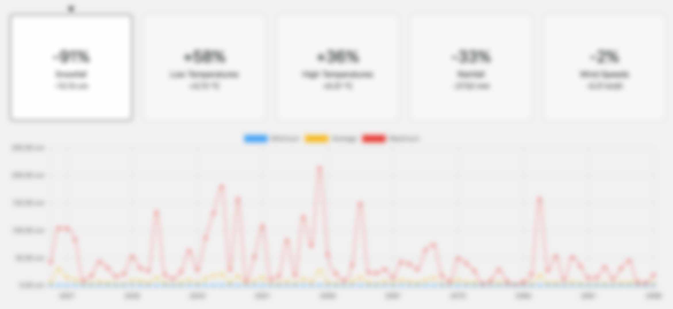
This is all the Meteorological data that EarthCare.ai aggregates, and then runs in the main threat models on. Here you can see an individual breakdown per data type, as well as per year. Any red points indicate days when the limit has been breached for that data-type.
Solar Energy
Better understand the solar potential of the location, both historically, but also observe forecasted solar irradiance data for better calculation of energy outputs.


